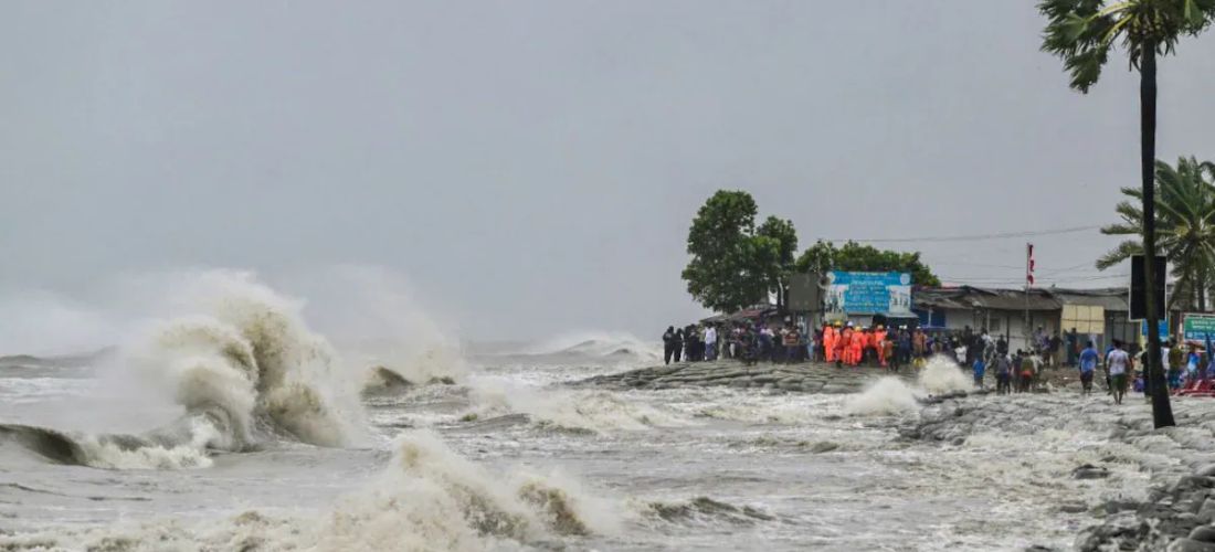
Cyclone Remal has intensified into a severe cyclonic storm and is expected to make landfall on the coasts of West Bengal and Bangladesh by Sunday night. This is the first cyclone of the pre-monsoon season in the Bay of Bengal.
- The India Meteorological Department (IMD) predicts Remal to cross the coast between Sagar Island (West Bengal) and Khepupara (Bangladesh) with wind speeds reaching 135 kmph.
- Landfall is around midnight, but some models suggest an earlier arrival by late evening.
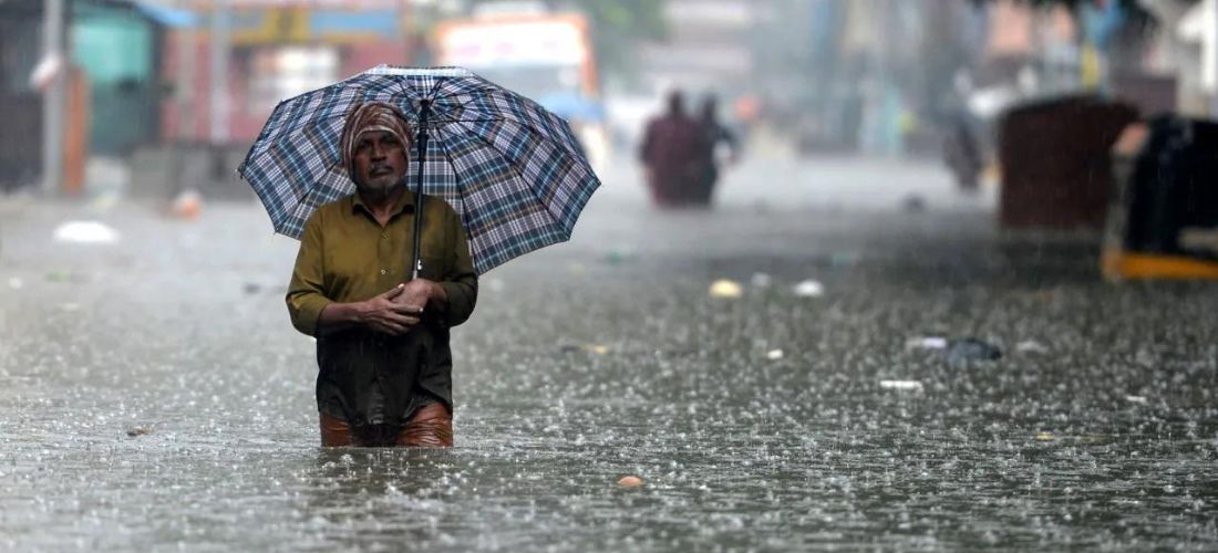
- The IMD warns of extremely heavy rainfall in coastal districts of West Bengal and North Odisha on Sunday. Parts of Northeast India may also experience heavy rain on May 27-28.
- A storm surge of up to 1.5 meters is likely to inundate low-lying areas during landfall.
Government Issued Alert
- A red alert was issued for South and North 24 Parganas districts (West Bengal) for May 26-27 due to expected extremely heavy rain.
- An orange alert was issued for Kolkata, Howrah, Nadia, and Purba Medinipur districts (West Bengal) warning of heavy rain and strong winds.
Cyclone Remal Impact on Sundarbans Mangrove Forest
- Remal is likely to impact the Sundarbans mangrove forest, a UNESCO World Heritage Site and critical tiger habitat.
- Rising sea surface temperatures due to climate change are a major concern, as they contribute to more intense cyclones.
- The National Cyclone Risk Mitigation Project (NCRMP) has helped strengthen early warning systems and improve preparedness in cyclone-prone regions.
Also Read – Rajasthan Heatwave: 11 Dead, Red Alert Issued for 22 Districts


